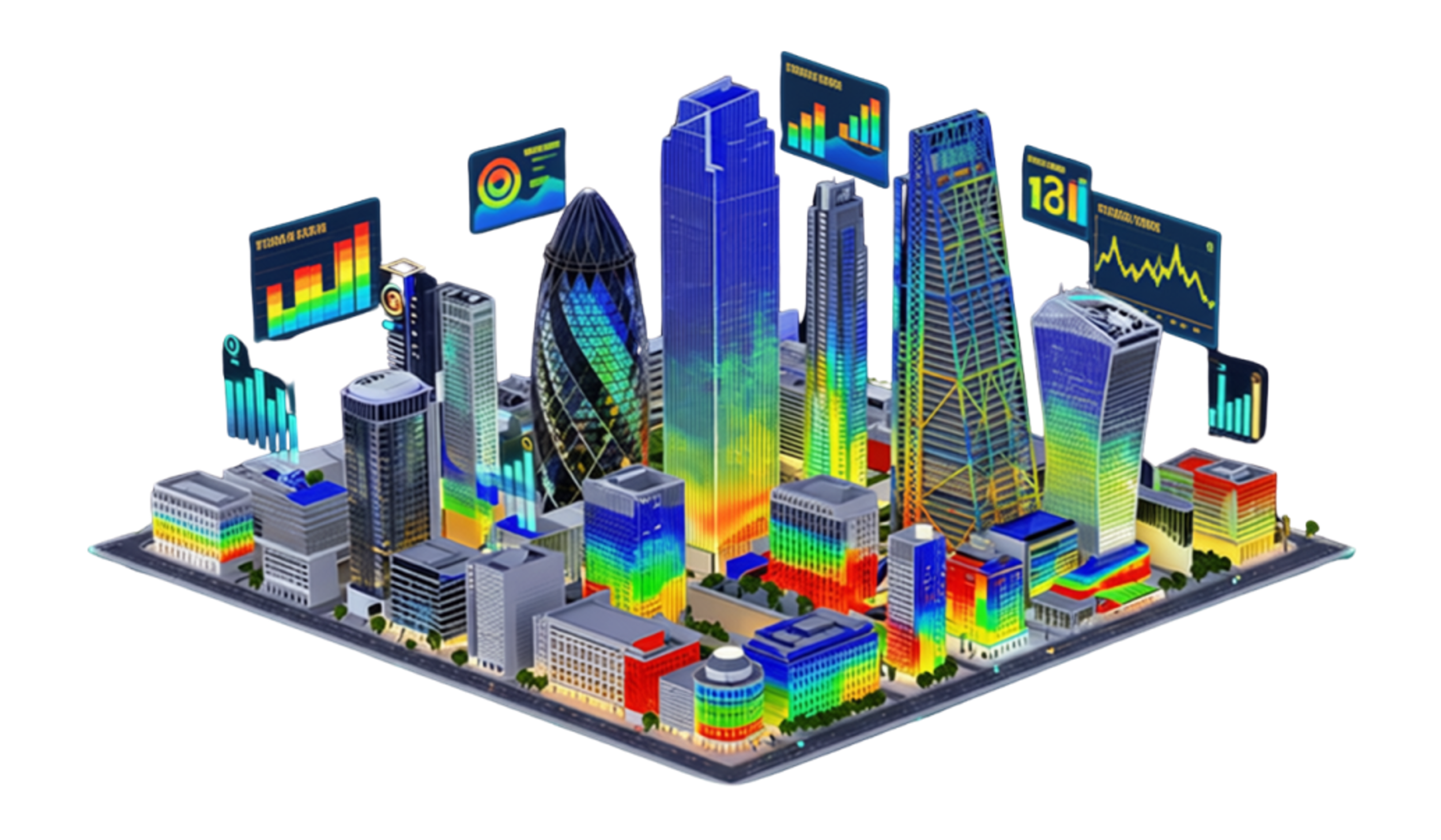
The smartest city is not the one with the most sensors
One square mile of London produces £110bn a year, moves $4.7tn in daily foreign exchange, and contains 877 buildings, bridges, monuments and heritage assets - every one of them the responsibility of a single organisation. Until recently, there was no unified digital picture of any of it.
This keynote opens with that gap and argues it is not a failure of any particular city. It is the honest starting condition of almost every historic urban centre on Earth.
The data exists. The picture doesn't.
What follows is the architecture being built to close it.
Sovereign, because the institution rather than a vendor governs its own digital future.
Spatial, because every asset, sensor and decision is located against one shared geospatial reference.
Computing, because it integrates live data, AI and real-time intelligence rather than serving a static map.
On that foundation sit three operational pillars — climate resilience, energy and net zero, and critical infrastructure security — with a heritage layer that captures listed buildings as photoreal 3D, so a location scout can walk through the Guildhall without anyone unlocking a door. The route runs from today's GIS model to a digital shadow by 2028, a genuine two-way twin by 2030, and an adaptive, predictive one by 2040.
The argument at the end is deliberately unglamorous: not more sensors, a clearer picture.